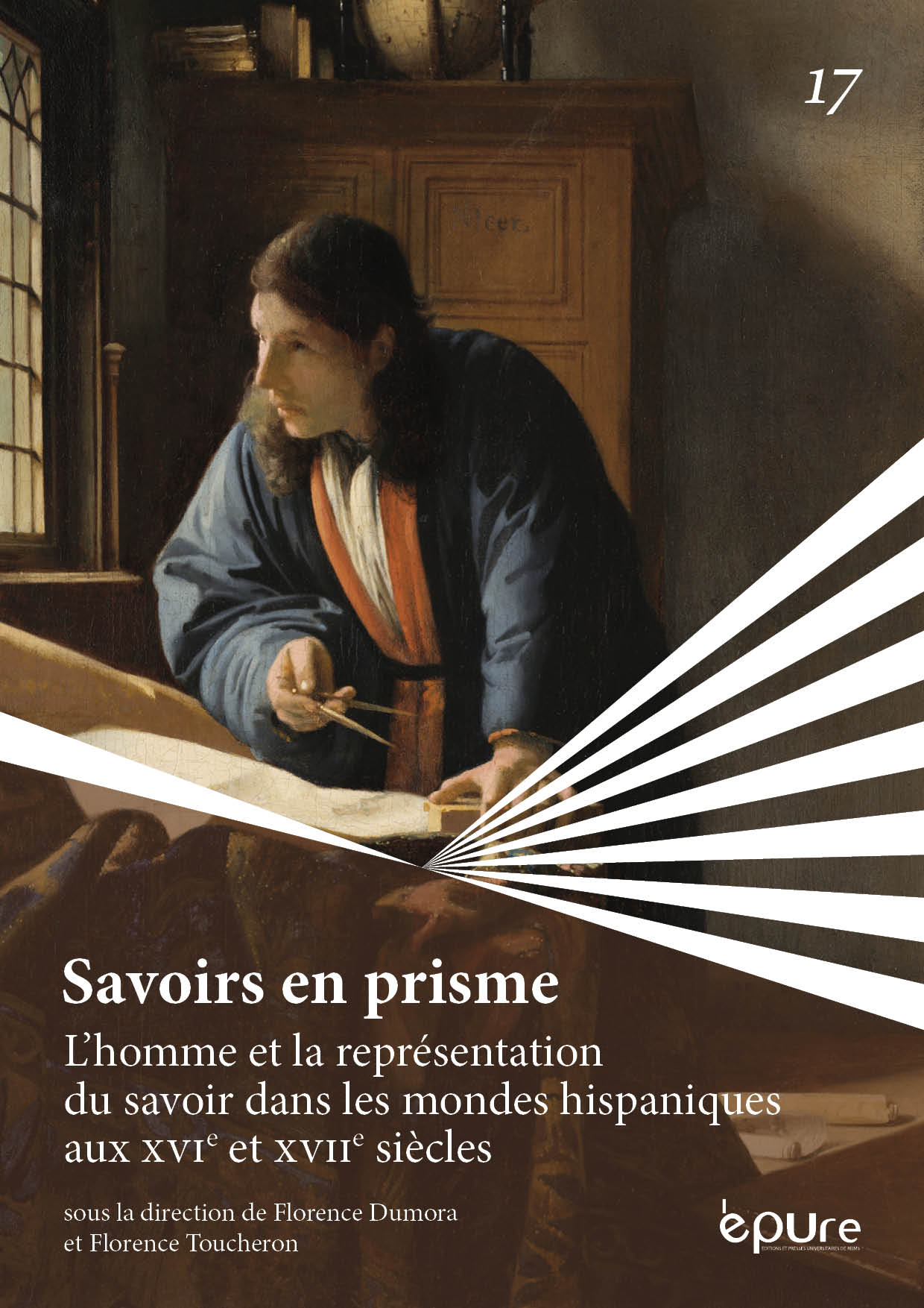
Maritime maps and globes
Representing power and represented power in the conquest of the New World
Abstract
Analysing the maps of the discovery and conquest of the New World is tantamount to questioning the states of consciousness that the cartography reflects since it becomes –in botanical, maritime or urban cartography– the place of the projections of the individual’s confrontation with history. The cartography weaves the modes of subjectivation of the lived space, which leads to reflect on the signs or codes that the maps contain: indeed, the confrontation of the individual (conqueror, botanist, navigator, or geographer) with space always emphasizes the constitution of the latter as subjective experience and leads to the examination of the benchmarks that guide and guide the existence of the subject.
Copyright (c) 2023 Juan Carlos Baeza Soto

This work is licensed under a Creative Commons Attribution-NonCommercial-ShareAlike 4.0 International License.


